DER TURM BLIEB
The Tower Stayed
A castle ruin on the Swabian Alb, rebuilt in code from laser-scan terrain and a research dossier. Eight hundred years, told only as far as the sources allow, in my own voice.
Play the first preview (2 min, bugs included) Play the first version (October 2026)
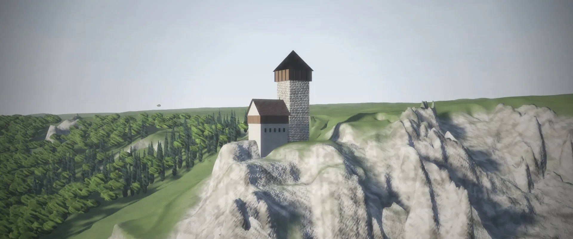
Work in progress. This is a first preview of the second version, bugs included. The wide shots are close to where they should be; the trees, the rock close up and some framing are not finished yet.
Burg Hohengundelfingen stands on a limestone promontory above the Großes Lautertal on the Swabian Alb. This is the second version of the film. The first one, made a month earlier, is still playable: a knight tells his own story, the castle burns in 1388, the tower stays. Most of it was invented, and some of it was wrong.
What changed
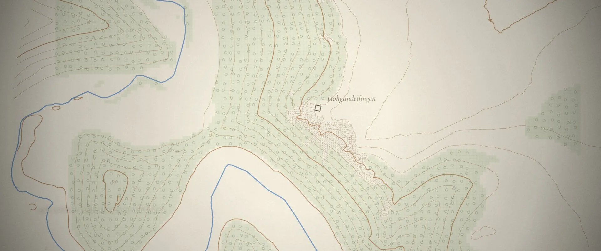
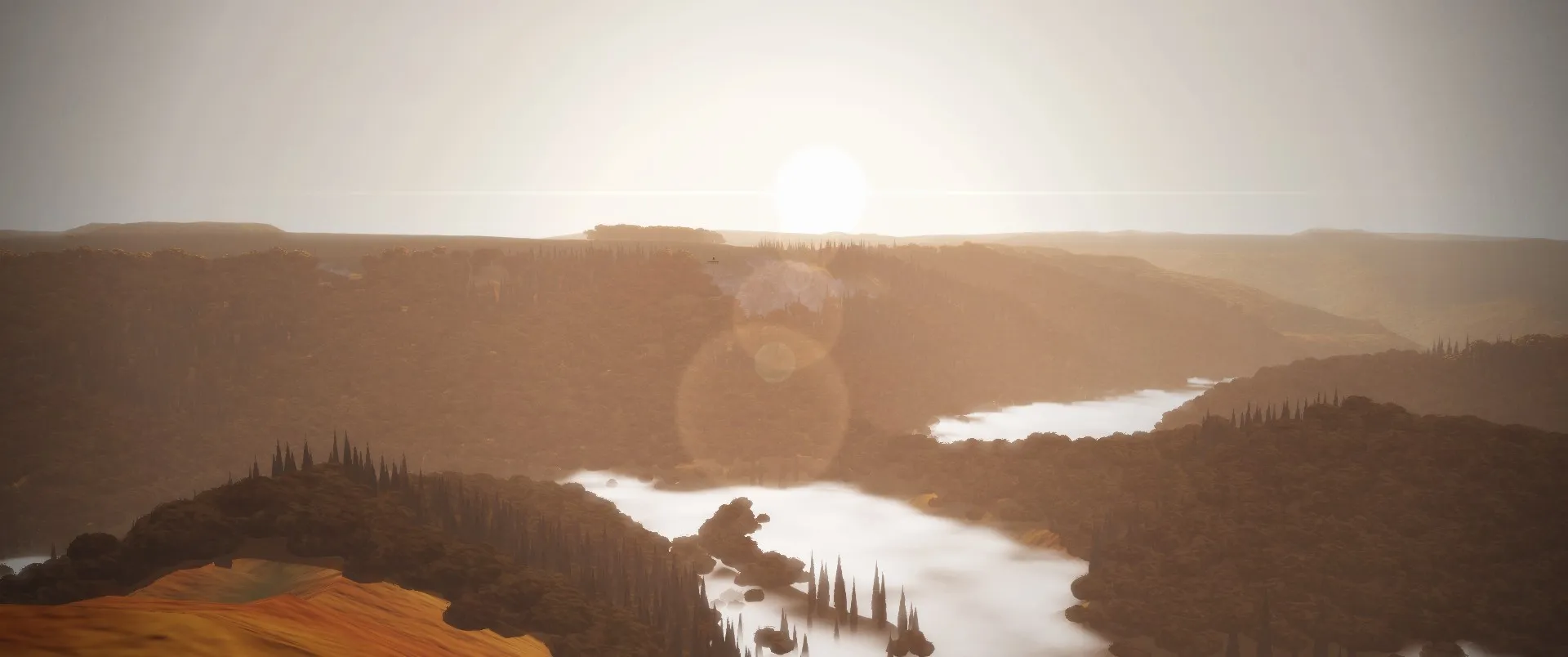
The place is real now. The terrain is the state survey’s laser scan (DGM1): 1 m around the castle rock, 5 m for the valley, 25 m out to the horizon. The keep, walls, cliffs and paths come from OpenStreetMap, the Lauter’s course too. Every castle shot is a camera inside that one model: from the Bürzel across the valley, from the neck ditch, from the air to the south-west. About 15,000 beeches and spruces are placed by the slope.
The story is honest now. A research pass went through the sources line by line. What it found changed the film:
- It is a rim castle, not a peak castle. The plateau behind it is higher; the drama is the 128 m drop to the river.
- No document says the cities burned it in 1388. That is a later inference. The first record that calls it a ruin (“Burgstall”) is from 1437, and the excavator read the site as abandoned.
- The rock is a sponge-reef limestone, about 155 million years old. Ammonites hardly occur in it, so the old film’s fossil spiral had to go.
- The tower did not stay. More than half of it fell. In 1960 Hans Römer had the fallen blocks set back on the stump.
So the voice changed too. The knight no longer speaks. I speak, to him, and can say “we think” and “no record says”. Who built the keep and how the castle ended is not recorded, and the film says so.
Before and after
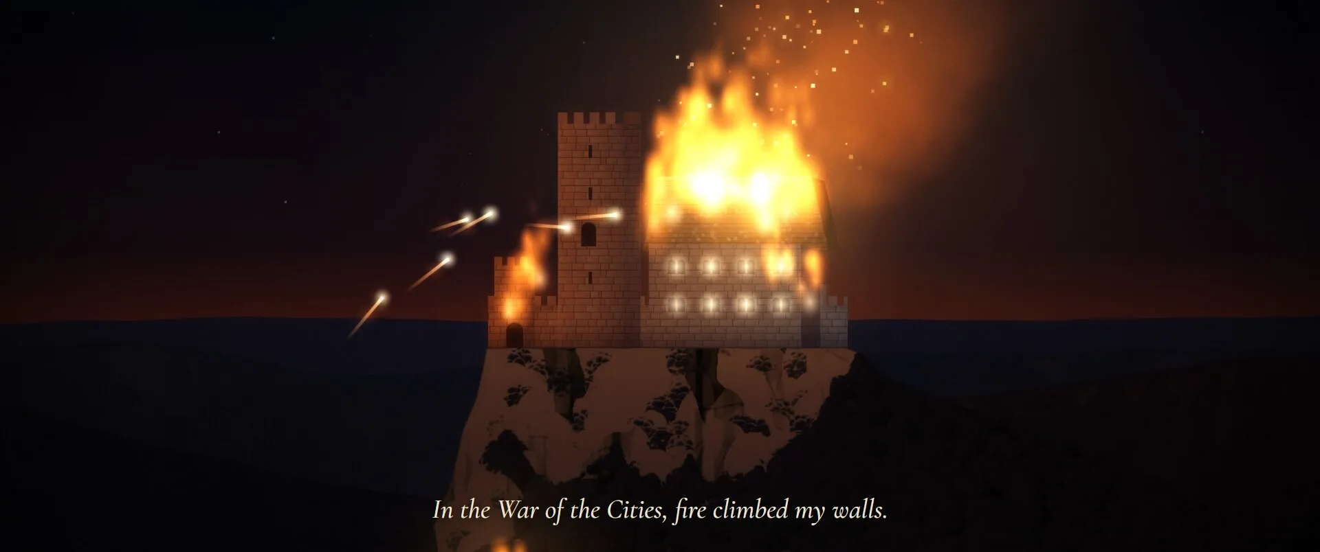
The first version (October 2026): a 2D sprite castle on an invented peak, set on fire.
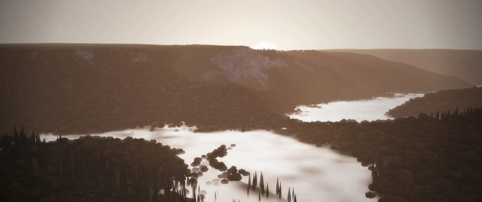
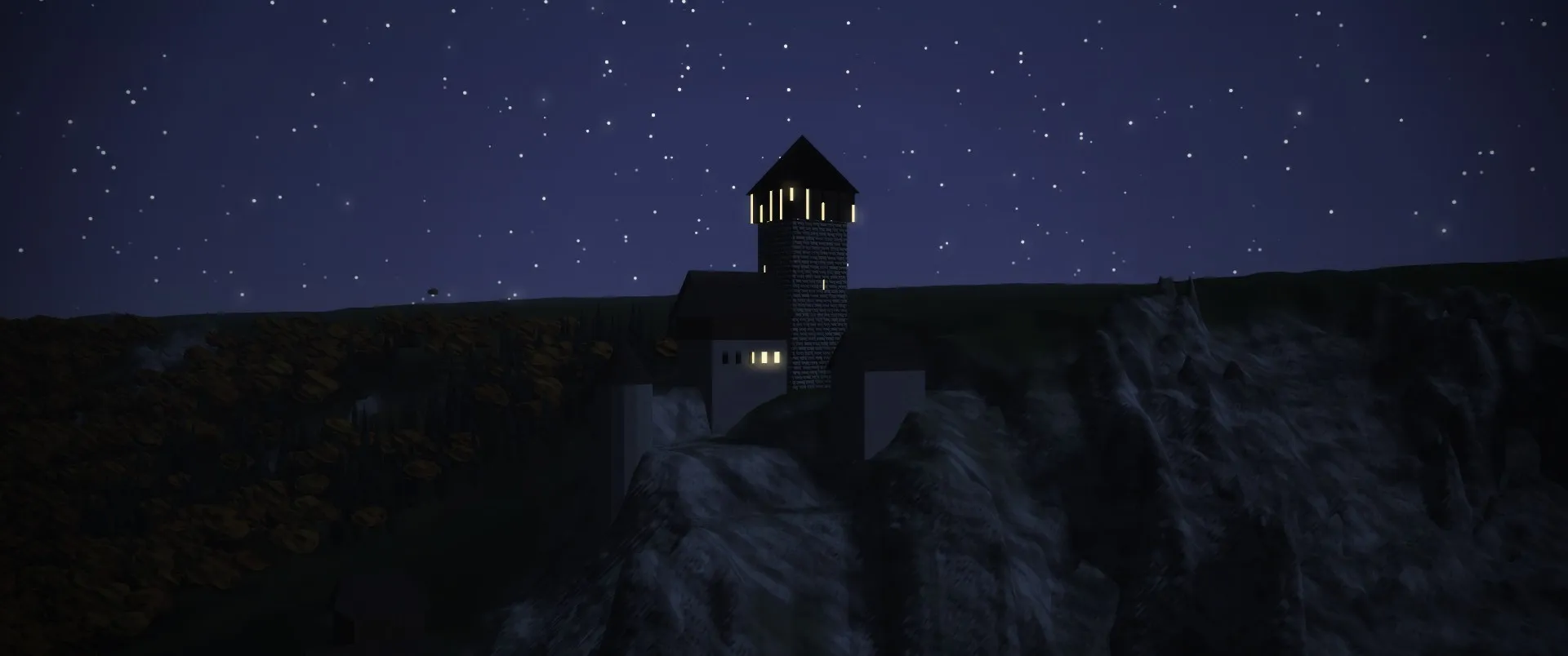
The second version (November 2026): the castle on its real cliff, built from the survey.
How it was made
An Opus 5.5 agent did the research: elevation data, the OSM plan, 30 openly licensed reference photos, and a dossier that tags every claim as documented, literature, inference or legend. A Fable 5.2 agent read the dossier and wrote the story and shot plan. Opus 5.5 built the terrain engine and the cut, rendered the narration in English and German with my cloned voice, and checked every take with speech-to-text. My part was the brief, the calls on what to keep, and the voice. The picture runs live in the browser; nothing is a video file. The mix sits at -20 LUFS.
Facts
- Stage
- Preview: Playable, rough, bugs included. Shown early so feedback can still change it.
- Category
- Film · Code
- Made with
- WebGL 2, Canvas 2D, Web Audio, JavaScript, ElevenLabs, LGL DGM1, OpenStreetMap
- Logged
- October 2026
- Last change
- 16 Nov 2026
What changed
Rebuilt from research: the real castle on laser-scan terrain, a story told only as far as the sources allow, narration in my own cloned voice in English and German. First preview, bugs included. v1 stays playable.
First version: an old knight remembers the tower he built. 89 seconds, English or German, every frame drawn in code. Play this version
Every change across the site, and what preview, beta and living mean
Credits
- Narration (English and German): Jonas’s own voice, cloned with ElevenLabs (Eleven v4). Sound effects and score: ElevenLabs.
- Terrain: Digitales Geländemodell DGM1 © LGL Baden-Württemberg, www.lgl-bw.de (dl-de/by-2-0). Map data © OpenStreetMap contributors (ODbL).
- History after hohengundelfingen.de (Dorothea-Römer-Stiftung), G. Schmitt (1989), LEO-BW and the 1825 Oberamtsbeschreibung.
- Research: Claude Opus 5.5. Story and shot advice: Claude Fable 5.2. Typefaces: Cinzel and Cormorant Garamond (SIL Open Font License).